February 2014
Back at outdoors after recovering from influenza. Had earlier visited Santa Ysabel West Preserve, but not the East Preserve. Both of them were located near each other in San Diego County, in Santa Ysabel near Julian. In this region hills started to be bigger, mountains were already in sight in east.
There's a 55 miles long Coast-to-Crest Trail (CtC), which starts near here on Volcan Mountains, ending at Del Mar on Pacific Ocean. Santa Ysabel East Preserve trails are part of the CtC trail. The San Dieguito River Park provides necessary trail maps for this Preserve as well as maps for all other trails along the CtC. They seem to do pretty important preserving work for these areas.
The Santa Ysabel East Preserve had two trailheads, one near Julian and another one along highway 79 near Santa Ysabel. Picked up the one along the 79.
Clear blue sky, temperature above +15C. low wind. Good conditions for hiking.
At the trailhead, there were warning signs for Mountain Lions, Rattlesnakes etc. Information leaflet explained other animals living here, too, e.g. Bobcats and Deers. Wondered if they wanted to step in front of my camera, too? Of course they didn't.
To enter the trailhead, one had to open and close a gate. Reason for the gate was within sight, namely cows. Lots of cows. Soon noticed the trail went straight through a group of cows. Was mainly thinking of mad cow disease while stepping closer them. No one had big horns which was a good sign. They all looked at me. Heart bumping passed them with no physical contact, neither any signs of running.
Once passed the cows, a field ended and the trail started to ascend towards the first hill. Hills were full of old Oak trees. One may called it a forest, too. Breathing became heavier, much heavier. Recovery from a flu hadn't been fully over yet.
Red Tail Hawks glided above, clearly looking for an early lunch. After approaching another gate, terrain became slightly more flat, but only a short period, starting to ascend again.
Bird singing have increased a lot within last weeks. In here it was noticeable, too. Up on the hills, Hawks were changed to Turkey Vultures, which glided beautifully following streams in the air.
Every now and then there were tables and seat for enjoying a break. Nice places under old and massive oak trees.
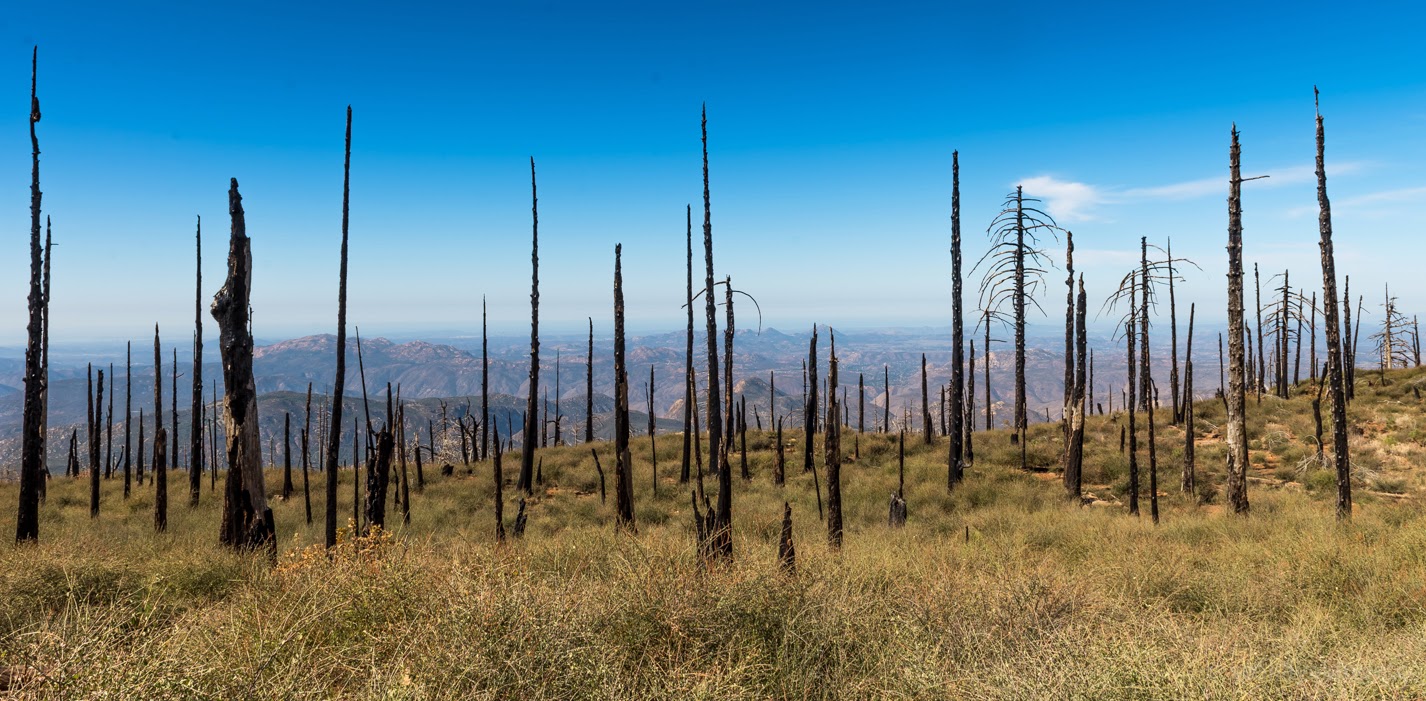
Next the trail entered into almost a treeless place. Clearly there's been a fire some time ago. Bushes were grown high already. The trail went higher and higher all the time, reaching above 4000 ft (the trailhead was below 3000 ft).
One could see Santa Ysabel Creek down in the canyon. Hundreds of Ravens sat on trees near the creek. The creek and its neighborhood was preserved, offering good shade and protection for all sort of animals living in this region, at least that's how I believed it was.
After 8km, turned back and returned back. The trail would have continued at least another 5km, offering one additional loop near the end.
All on all this was even better trail than Santa Ysabel West Preserve was. Perhaps oak forests, nice fields along the hills and bigger mountain on the background on east gave better feeling.
These trails were much more fun, too. One couldn't stay without laughing cows, who stared like there's a new kid in town. They were even polite, on gates they waited until you've passed the gate, only after that they passed it. Proved it by waiting 15mins near one gate. No, they didn't come, but after I passed the gate and stopped right after the gate, they all came, saluted me while passing me and the gate.
A few photos
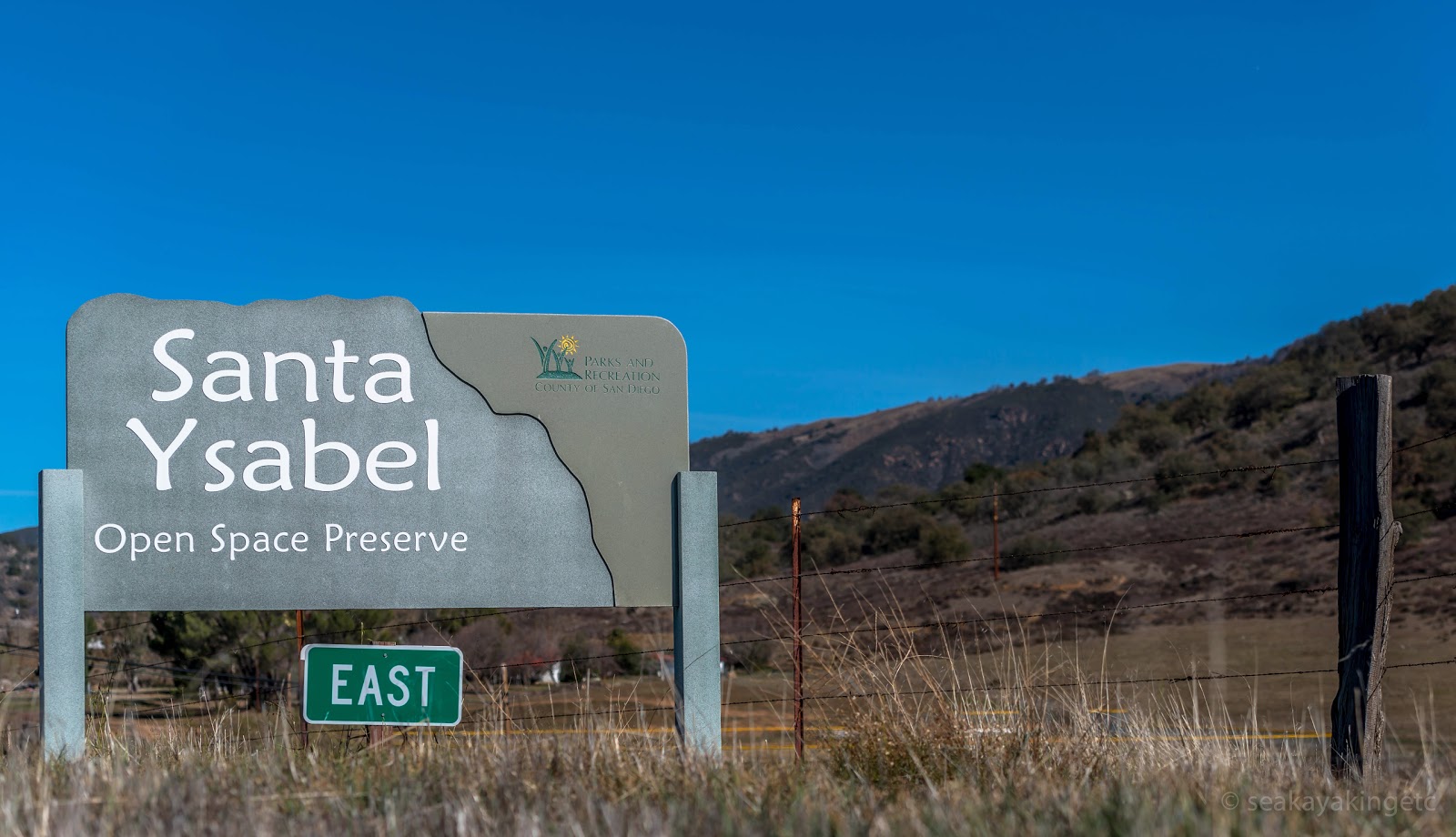 |
| Welcome! |
 |
| A sign for the Coast to Crest Trail |
 |
| A Gate |
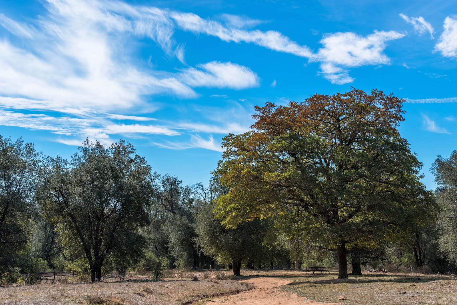 |
| A Picnic area under an old oak tree |
 |
| Trail twisted along the hills |
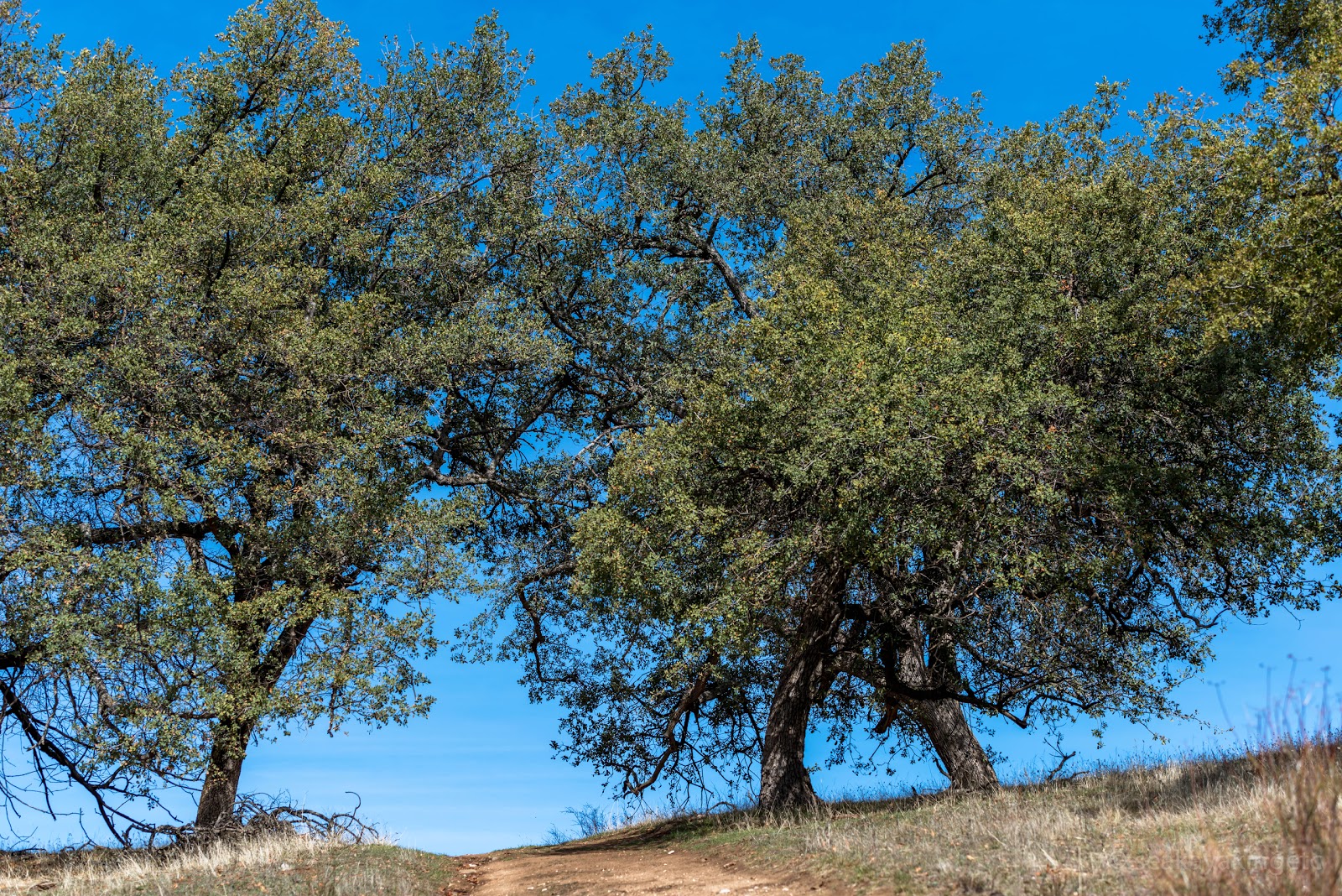 |
| California Oak trees |
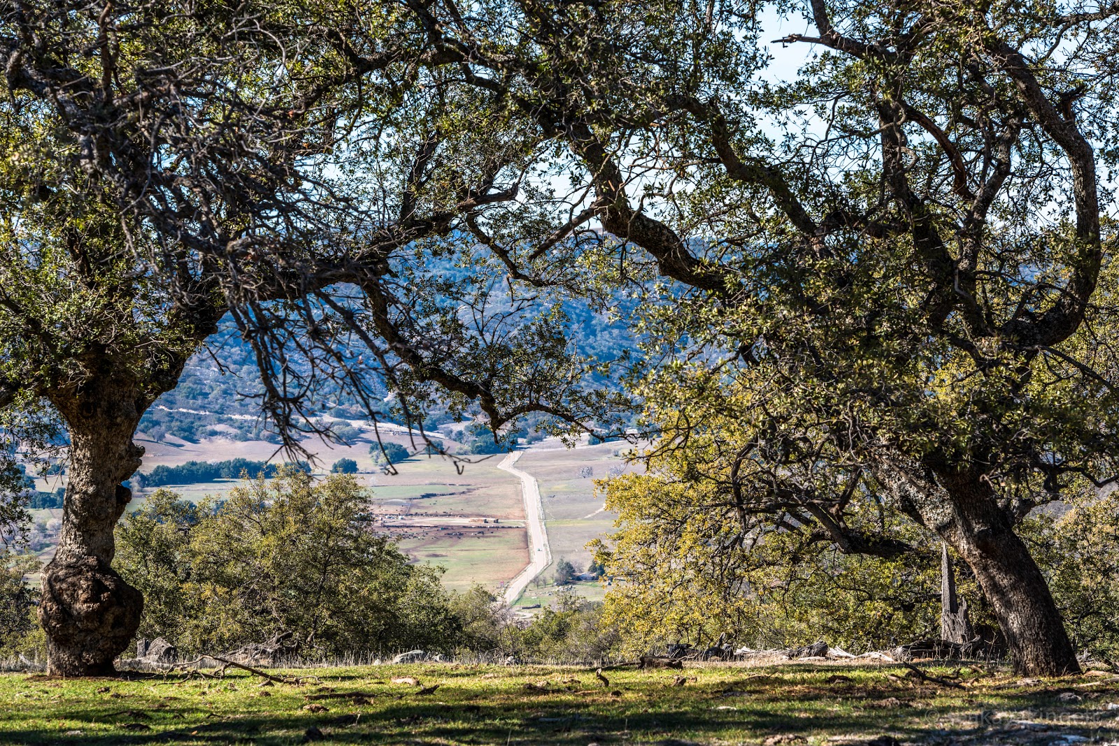 |
| Highway 79 down in the valley |
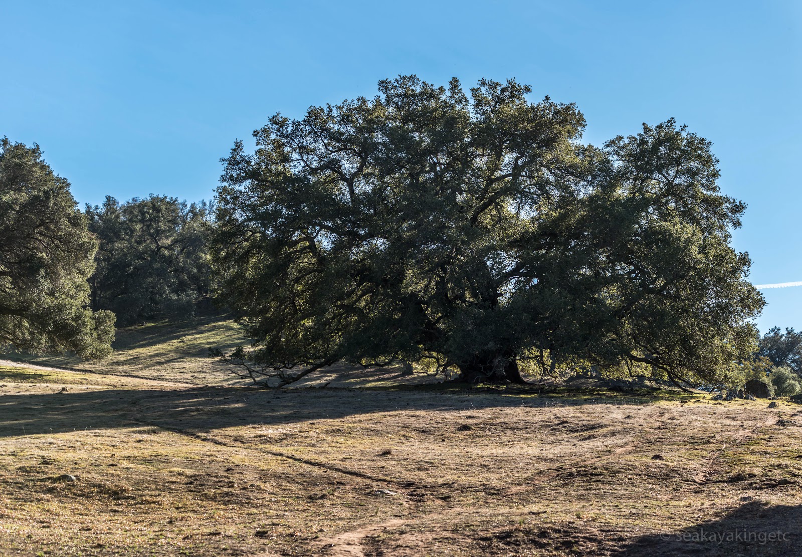 |
| Some oak trees were just massive |
 |
| More green under the tree |
 |
| Life has come to an end |
 |
| Nests |
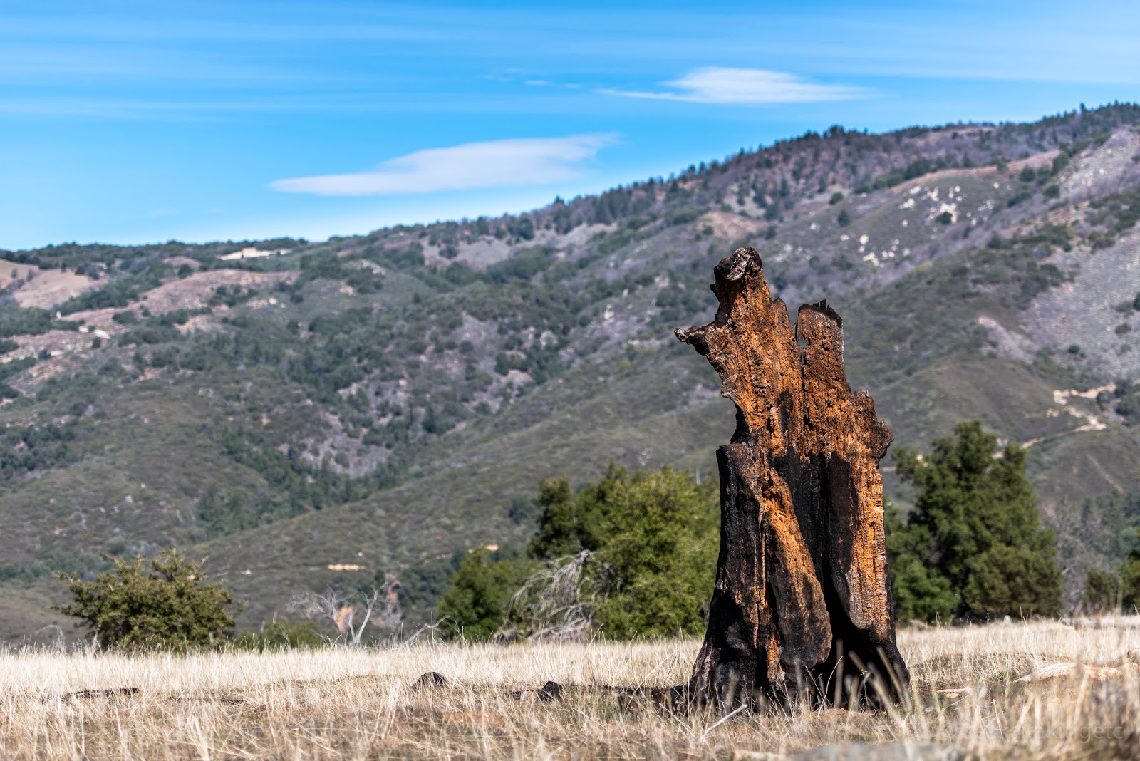 |
| Burnt |
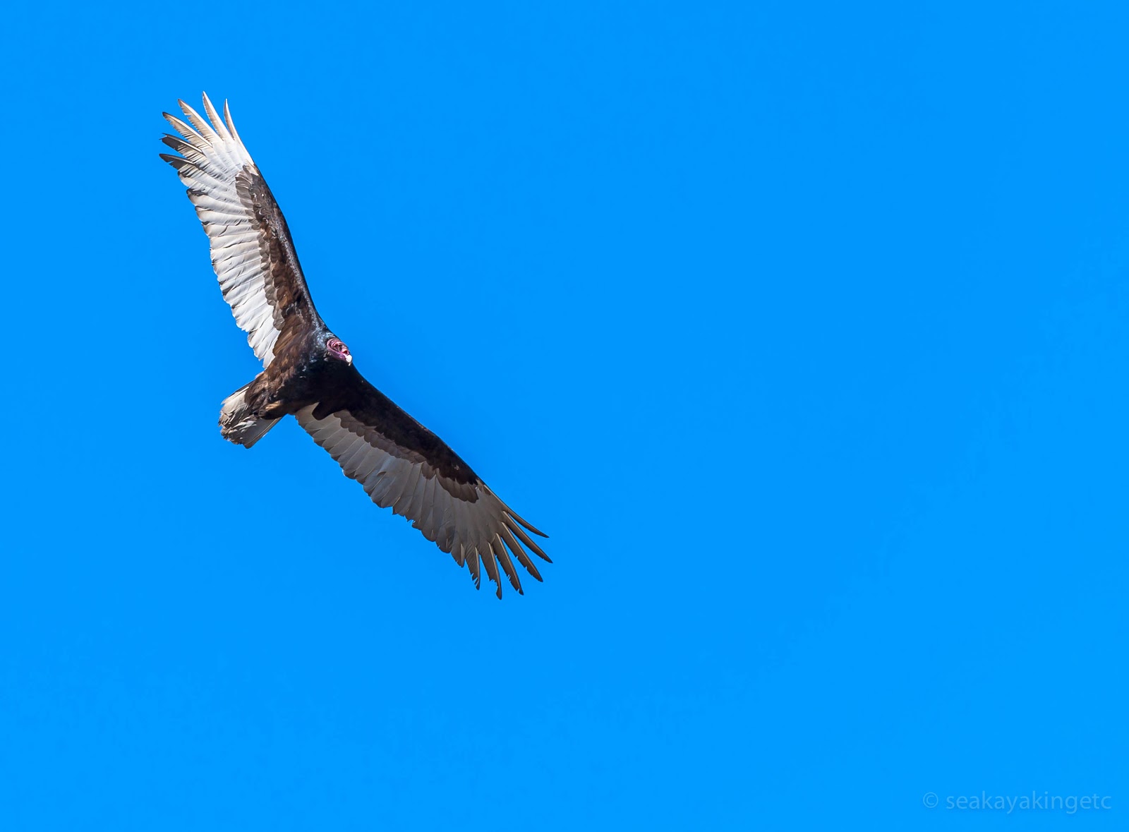 |
| A Turkey Vulture |
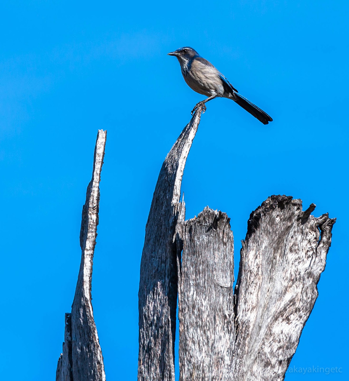 |
| A Western Scrub-Jay |
 |
| They did say something but Shazam didn't recognize it |
 |
| Learning new Yield-To instructions |
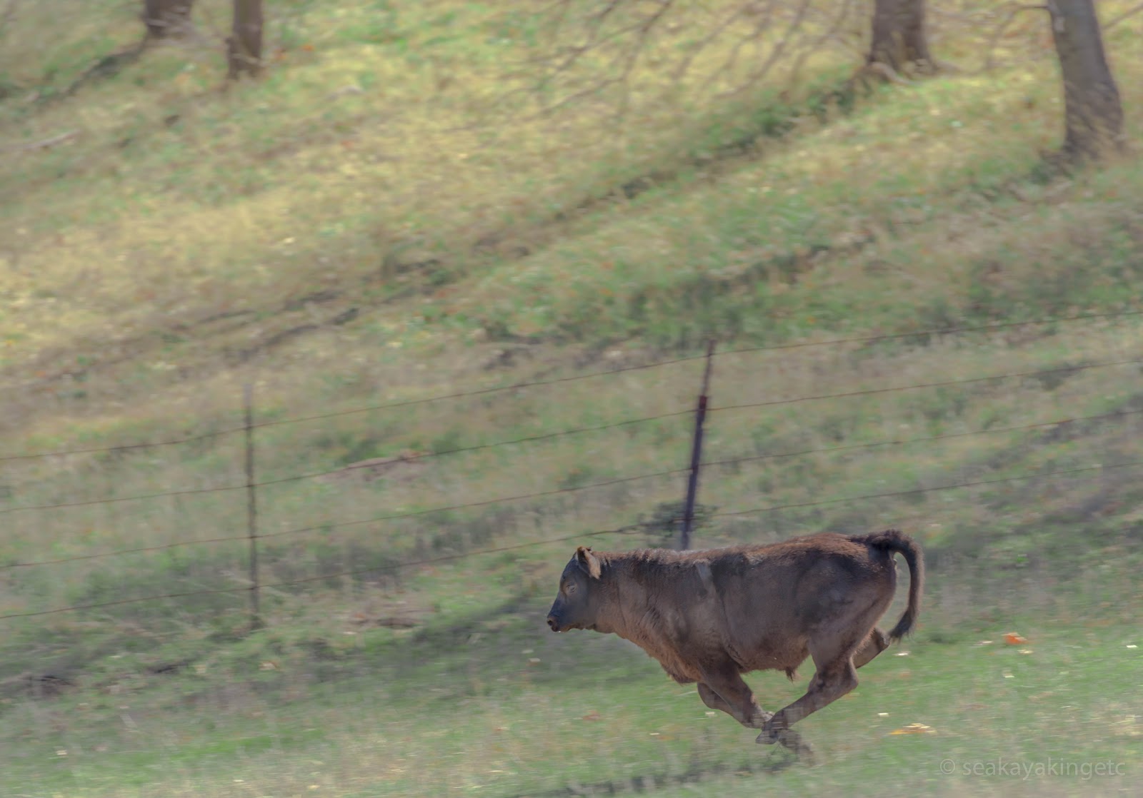 |
| Young Raging Bull in full swing |
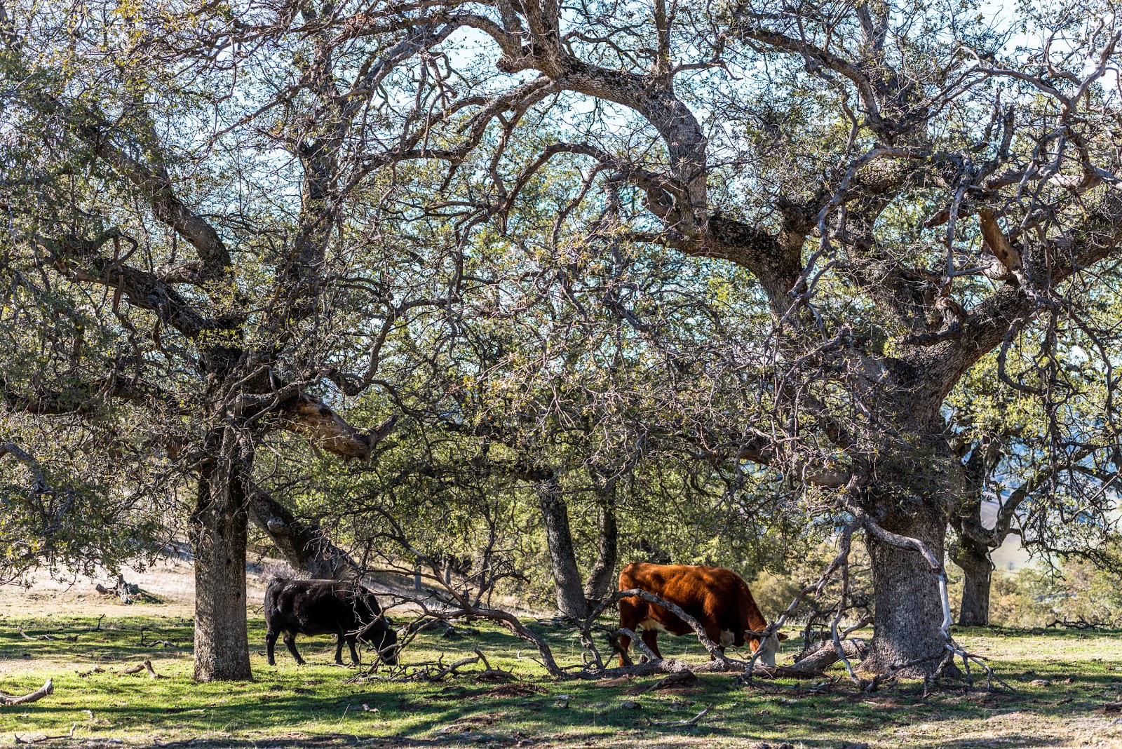 |
| Lawn Mowers |
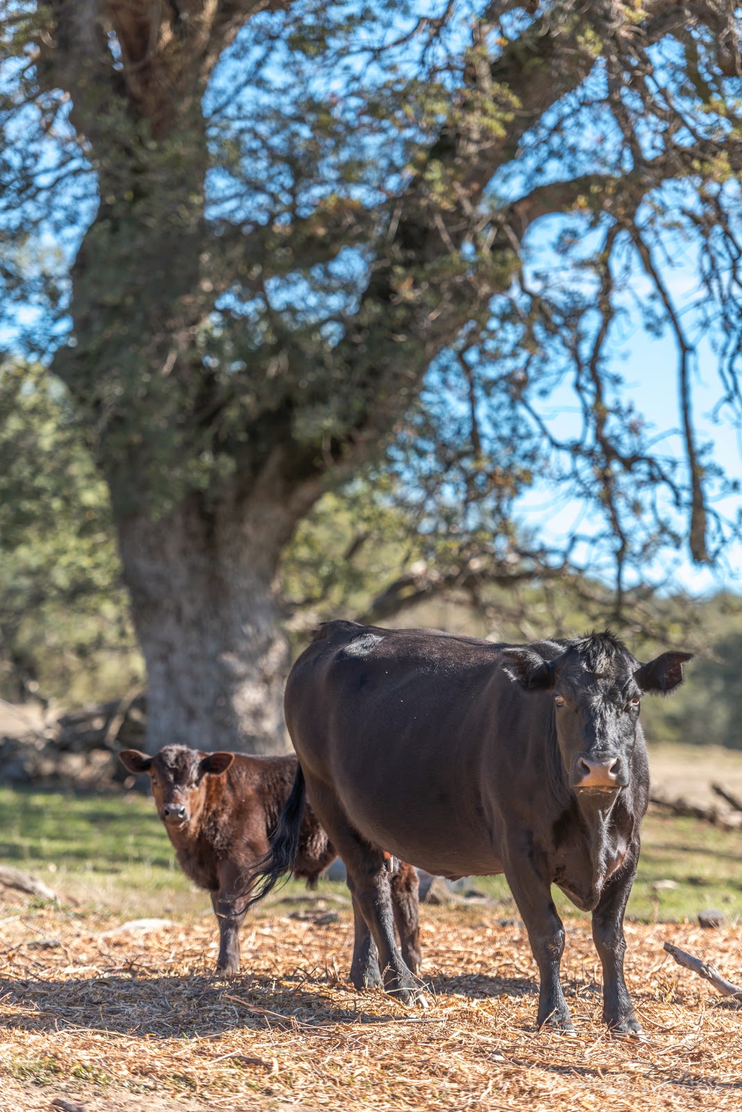 |
| Like Father Like Son (or was it mother?) |
 |
| Excuse me but .... Holy Shit! |
 |
| Cactus in front light |
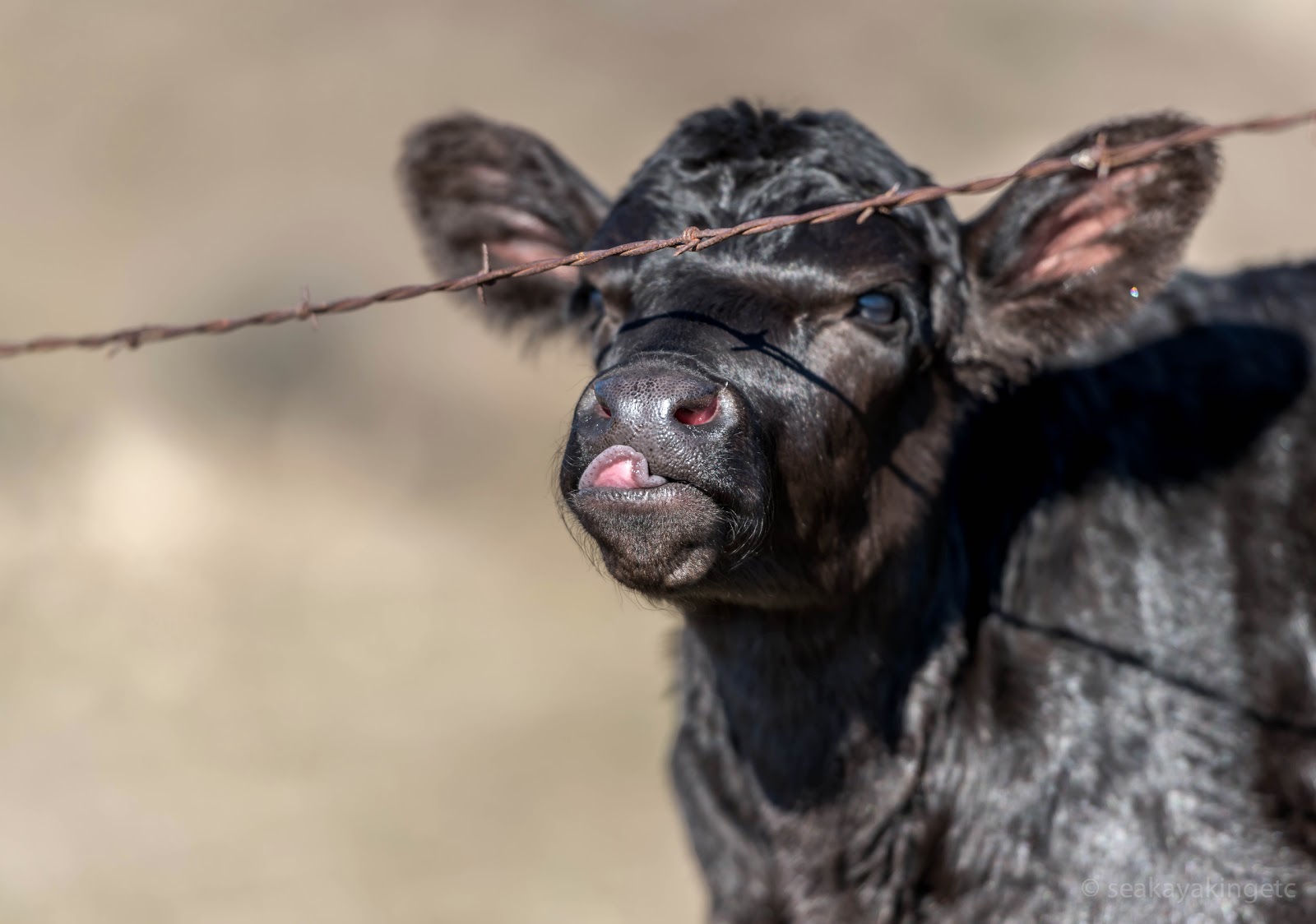 |
| Children like to show their tongue for mean people, so do young cows |